Create a New Assessment
In order to analyse an earth station, you need to create an Assessment. You can create a new Assessment from the startup dialog described in the previous section. If the software is already running, you can still create a new assessment at any time.
To create a new assessment:
1. Click New from the File menu.
2. Alternatively, click  on the toolbar.
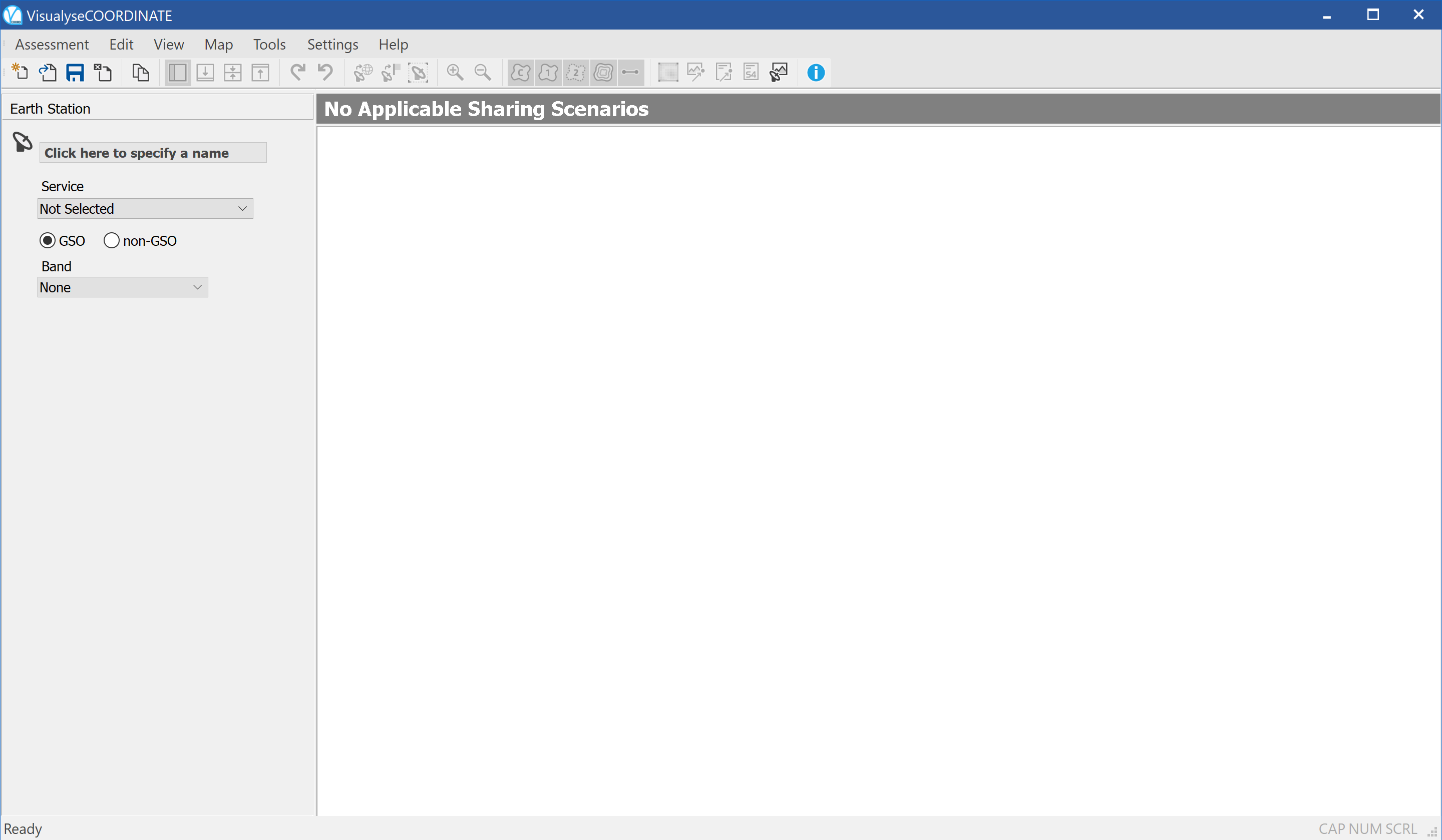
The application window changes to show the new assessment (shown below). The vertical pane on the left hand side of the application window is called the Properties Side Bar.
This shows the properties of the selected station. The properties of the selected station on the map are then displayed in the side bar.
At start-up or on creation of new Assessment, nothing has been defined and there is only one station - the earth station. Hence, the earth station properties are displayed in the Sidebar.
To get started you need to define some essential parameters of the earth station – Visualyse Coordinate can fill in the rest with default values that you can then edit.
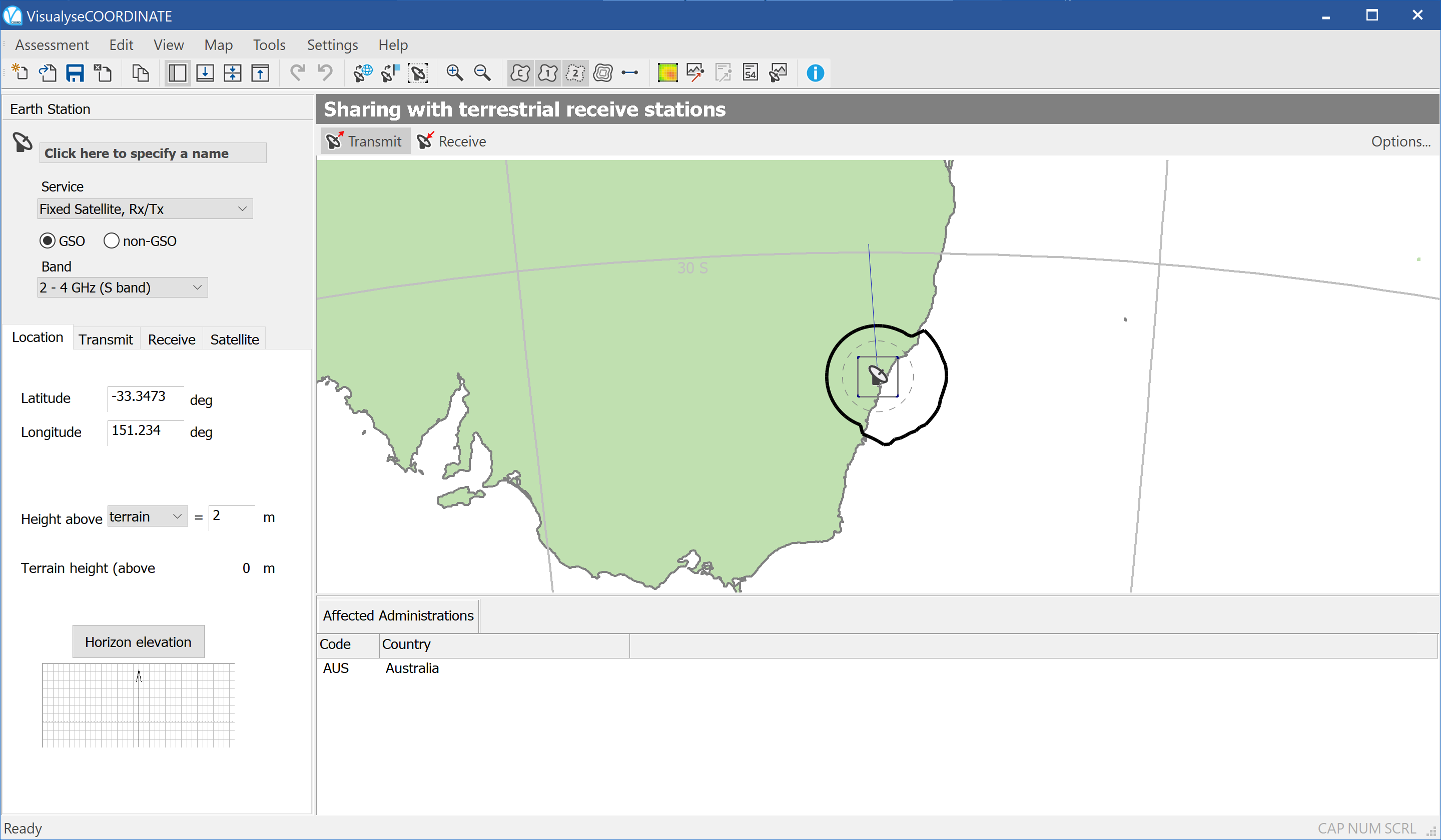
The earth station has some fundamental properties (Service, whether GSO or non-GSO and frequency Band), and these are shown at the top of the side bar.

Once the earth station service is defined, other earth station properties are accessible via the tabs in the lower part of the sidebar.
The figure below shows the state of the application as soon as the service has been selected (note that the earth station location defaults to the location used in your last assessment or to 0 latitude 0 longitude if this is the first time the application has been run)

Before beginning to specify your earth station properties, you may want to set up analysis defaults and preferred settings.