Terrain Databases
Like the Assignment databases, terrain can be added and removed at any time. You may be able to import in several formats depending on the work done by your system administrator or work commissioned from Transfinite.
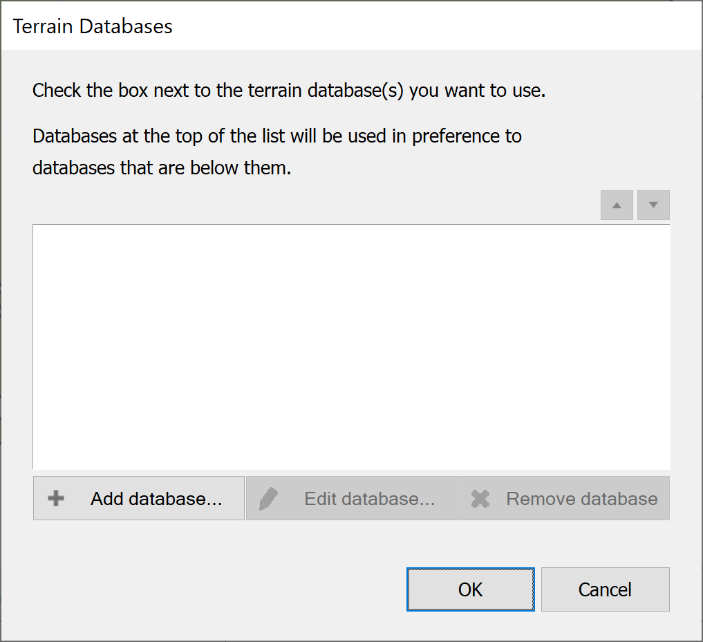
Terrain data is managed from the Settings menu. Select Terrain Databases and you will see the following dialog.

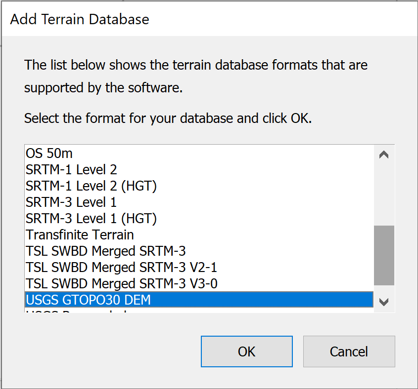
Click the Add Database button. You will be asked to select the type of data to import.

Selecting USGS DEM format will present you with the standard Windows file find dialog, and you will need to locate the data on your PC or network.
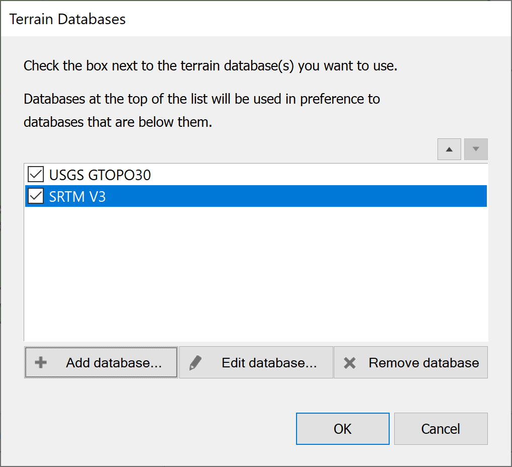
Once you have created some terrain databases, the dialog will look something like the one below.

In the case shown above, two sources of data have been added. One is low resolution and one is higher resolution. Where two sources are used they might overlap in area covered. When this occurs Visualyse Coordinate preferentially uses data from the source higher up the list. The list ordering is editable using the up and down arrow buttons 
 at the top right of the dialog.
To promote a data source, select it in the list and click the up arrow. To demote, click the down arrow.
To remove a data source, select it in the list and click the ‘Remove database’ button.