3D View
The 3D view display properties are almost identical to the map view properties. There are however a few small differences.
On the features tab, in addition to ground tracks, an option to display space tracks is provided.
It isn’t possible to use the border feature and the countries cannot be displayed individually. Instead on the Adornments tab there are options to set a single, general, country border and sky colours.
On the beam display options dialog, there is an option to display the beam cones.
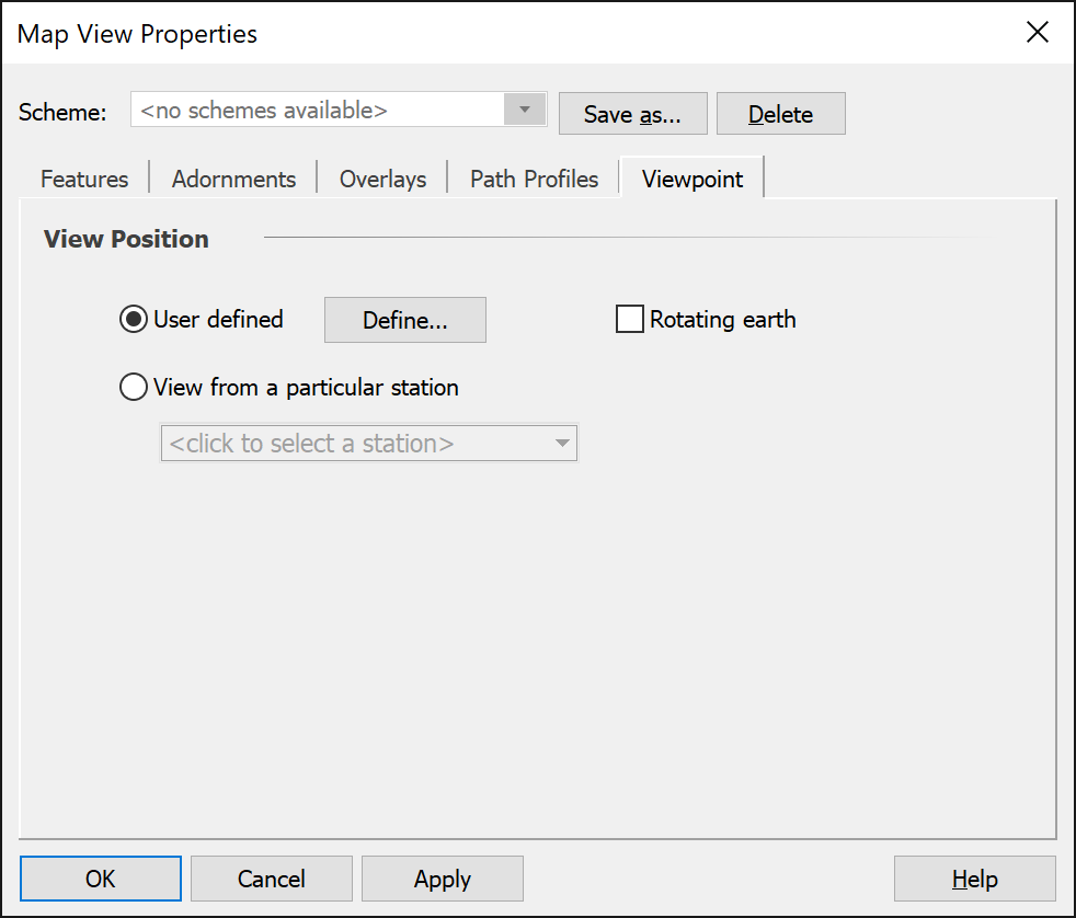
The biggest difference between the two dialogs is the addition of an extra tab called Viewpoint. This is only applicable to the 3D view where the view point can be changed. In the map view this is fixed.

This tab allows you to set the view position itself. The default option is user defined. This allows you to:
- Set a specific lat/long/height to view from
- Change the view position interactively dragging the globe in the view window.
With the user defined option, you can choose whether you want the earth to rotate in the view when the simulation is running.
The other option allows you to view from a particular station. This allows you to sit on a satellite say and see what the world looks like from there – a useful way to understand many aspects of the geometry and dynamics of, for example, a non-GSO scenario.
The direction of view is always towards the centre of the earth.