Interface to Google Earth
There are two places in Visualyse where provides an interface to Google Earth. The first is on the File menu, the second is via the pop-up menu you get if you right click on any of the map or 3D views.
Export items using File Menu Option
When a 2D or 3D map views is active, the File menu gives you the option to ‘Export to Google Earth …’.
Click on this option and the following dialog appears:
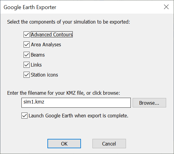
You can selective export all the Advanced Contours, Area Analyses, Beams, Links and Station Icons (together with their locations) from the current simulation.
Define the file location and Visualyse produces a .KMZ file: by default this will be in the same location as the sim file.
If the final box is checked, Google Earth will be launched automatically when the file export is complete (assuming it has been installed).
Export items using Pop-up Menu
If you right click on either of the map views or the 3D view outside of an Area Analysis, you will get a pop-up menu as shown below:
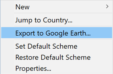
If you select “Export to Google Earth…” you will get the same dialog as above, and can use that to create a KMZ file and start Google Earth automatically.
If you right click on either of the map views or the 3D view inside of an Area Analysis, you will get a pop-up menu as shown below:
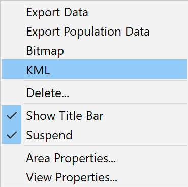
There is an option here, “KML”, that allows you to generate the KML file that can be used later by Google Earth.
Managing Data within Google Earth
Google Earth allows you to view your data in 3D overlaid upon standard geographical information including satellite photos, roads, railways etc.
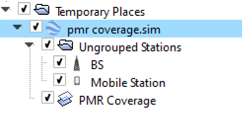
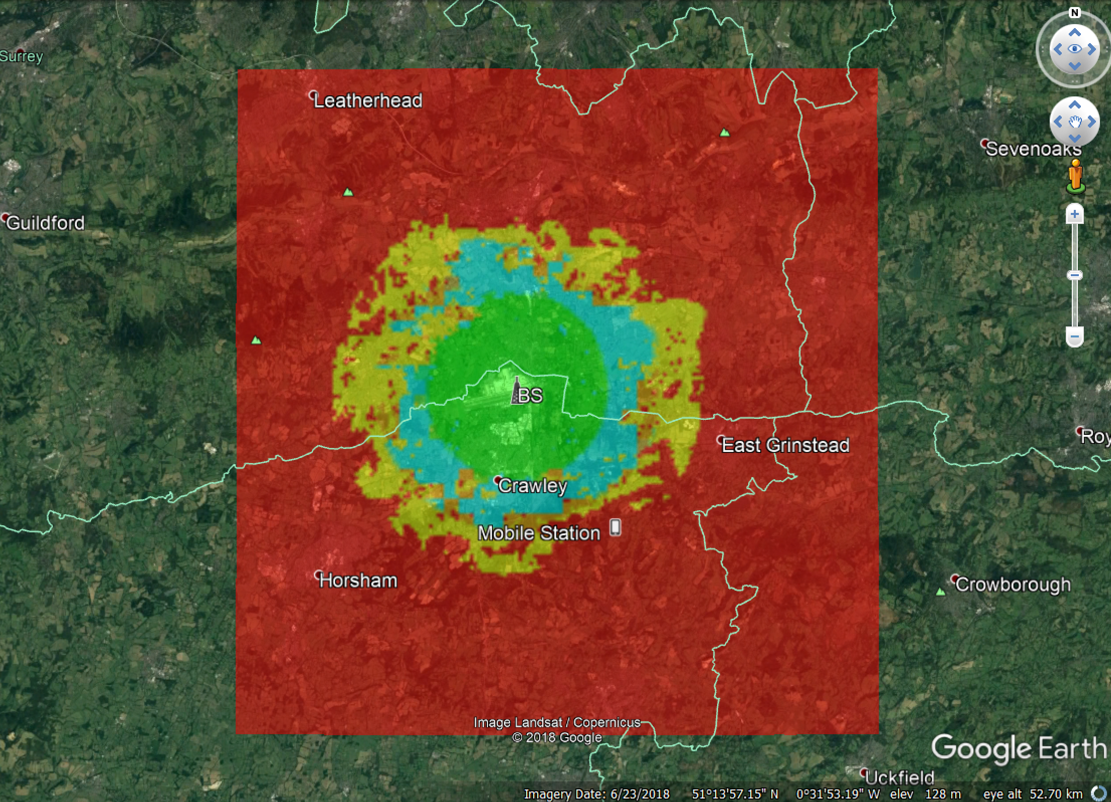
For example if you export the demonstration file “PMR Coverage.sim” from the “Network coverage” directory, Visualyse will export:
- Two stations, the base station and the mobile station
- One Area Analysis, showing the predicted C/N
These are grouped together in a tree, and each item can be shown or hidden within Google Earth by clicking on the check box, as in the figure below:
Google Earth can then display the required images, such as:
Background on Google Earth
More information about the features and background to Google Earth including downloads can be found at:
A number of versions are available which at time of press included one free to use for non-commercial usage and another requiring minor fee for commercial use.
Note that the functionality and licensing of Google Earth could be modified by Google in the future.
Question: Why are Google Earth files called KMZ?
Answer: The program is based upon tools used to view images generated by the Keyhole satellite program, and a Markup languages was created to add overlays. In addition the files are Zipped to reduce their size.