Path Profile Window
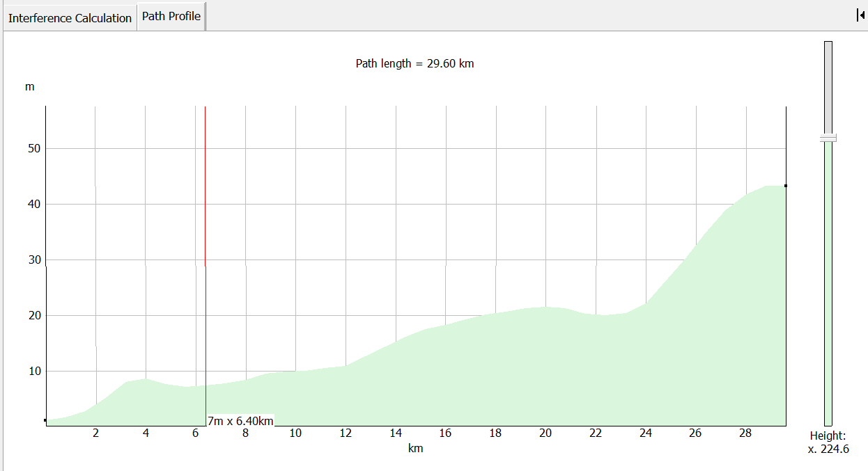
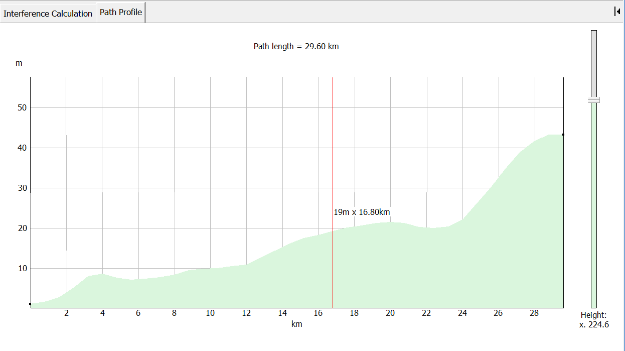
The path profile shows the path between the selected assignment and the earth station. The terrain heights for all points along the path are displayed. The direction of the path left to right is from the interferer to the victim.

Small black squares indicate the positions of the assignment and the earth station on the terrain. Vertical and horizontal scales allow you to read off terrain heights and distances along the path.
In many cases the path length can be many kilometres whereas the height variation along the path is likely to be only a few hundred metres. The relative scale on the vertical and horizontal axes is variable. The slider on the right hand side changes this scale.
As you move your mouse pointer across the profile, the height and path distance for the relevant point on the path are displayed next to the pointer.
